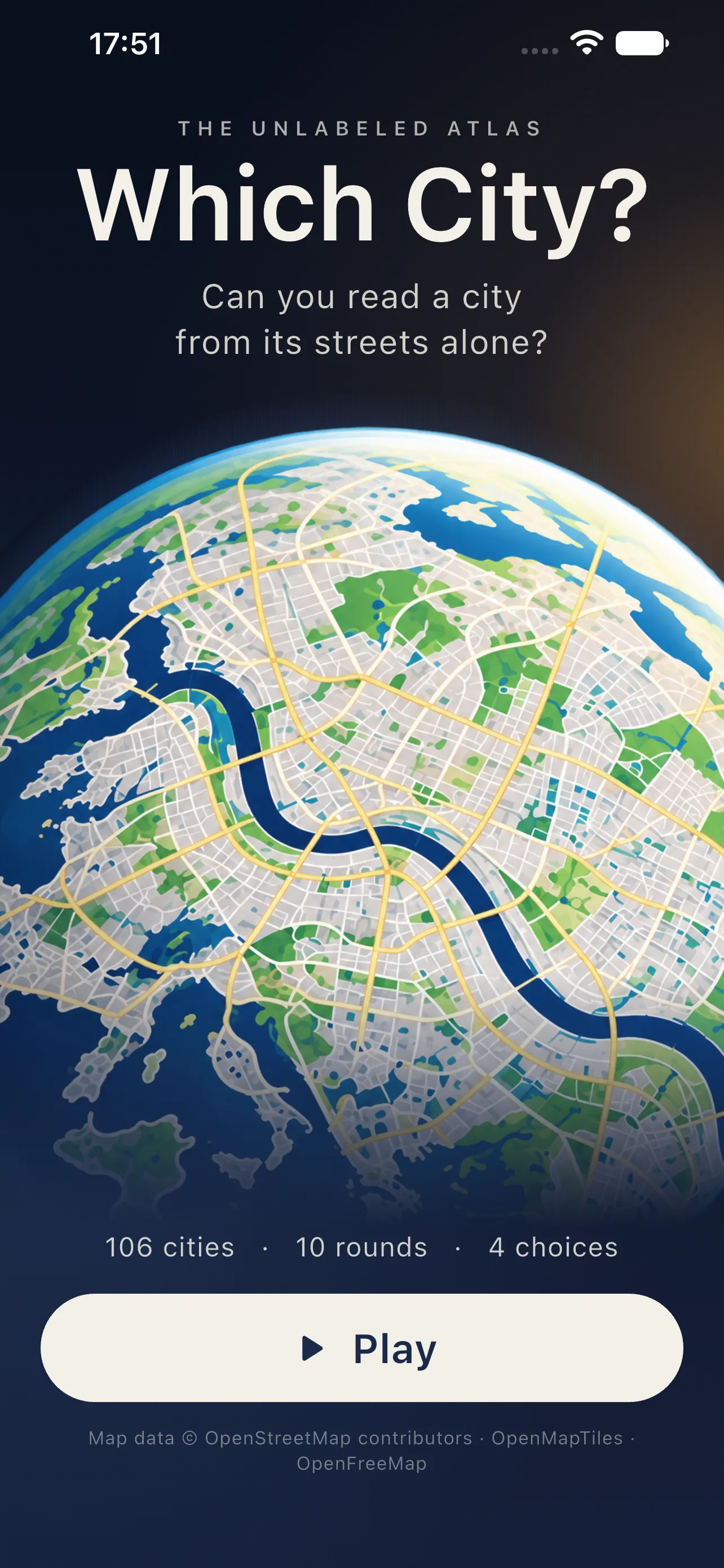
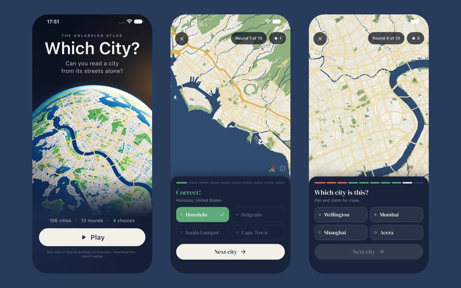
Which City?
A street map with every label stripped out and four cities to choose from. Can you tell Paris from Prague by its streets alone?
- 106cities
- 11languages
The idea
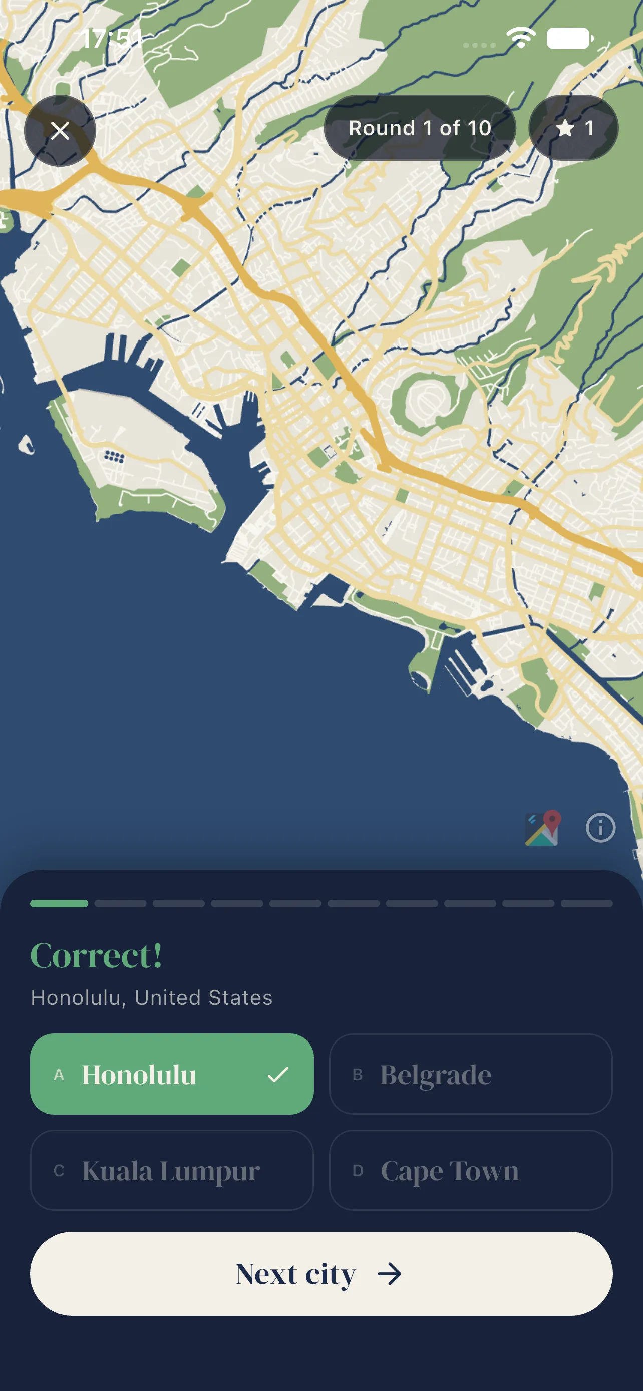
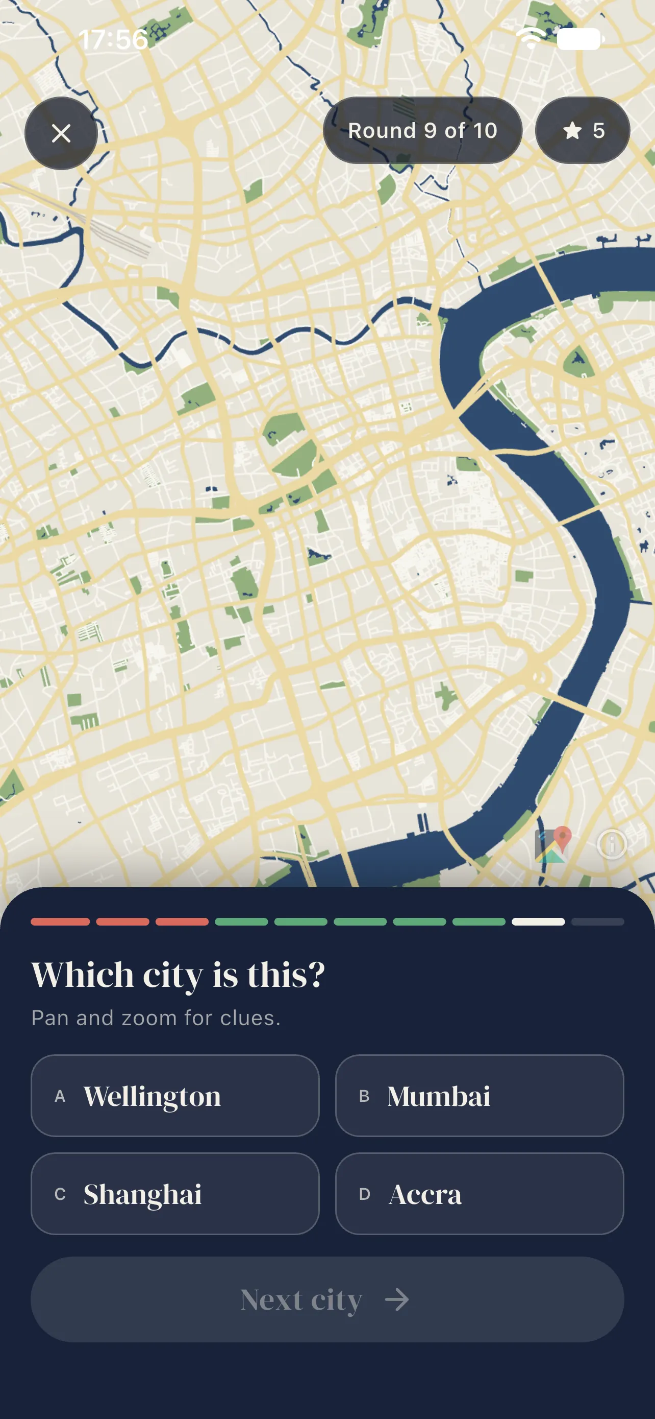
Which City? shows you a street map with every label removed. No city names, no street names, no landmarks: just rivers, coastlines, parks, railways and the shape of the streets. Your job is to work out where in the world you are.
How it works
Each round opens on one city. Pan and zoom to hunt for clues: a river bending through the centre, a tight medieval core, a perfect grid, a harbour full of islands. Then pick the city from four choices. A game is ten rounds, and at the end you see your score along with every city you got right or wrong.
How I built it
The maps are real OpenStreetMap vector tiles, rendered in Flutter with a custom style that strips out every label and draws the city in a clean atlas look.
Details
- 106 cities across Europe, the Americas, Asia, Africa and Oceania
- Ten rounds per game, four choices per round
- A results list after every game
- No account and no sign-up
- English, Norwegian, Swedish, Danish, German, French, Spanish, Italian, Portuguese, Dutch and Chinese
Available for iPhone and iPad. An Android version isn’t out yet.